
Un espacio aéreo tiene diferentes zonas. Cuando vueles un dron, primero debes comprobar si está permitido volar allí. Puedes comprobarlo utilizando un mapa de drones. El mapa de drones muestra las zonas geográficas de cada lugar.
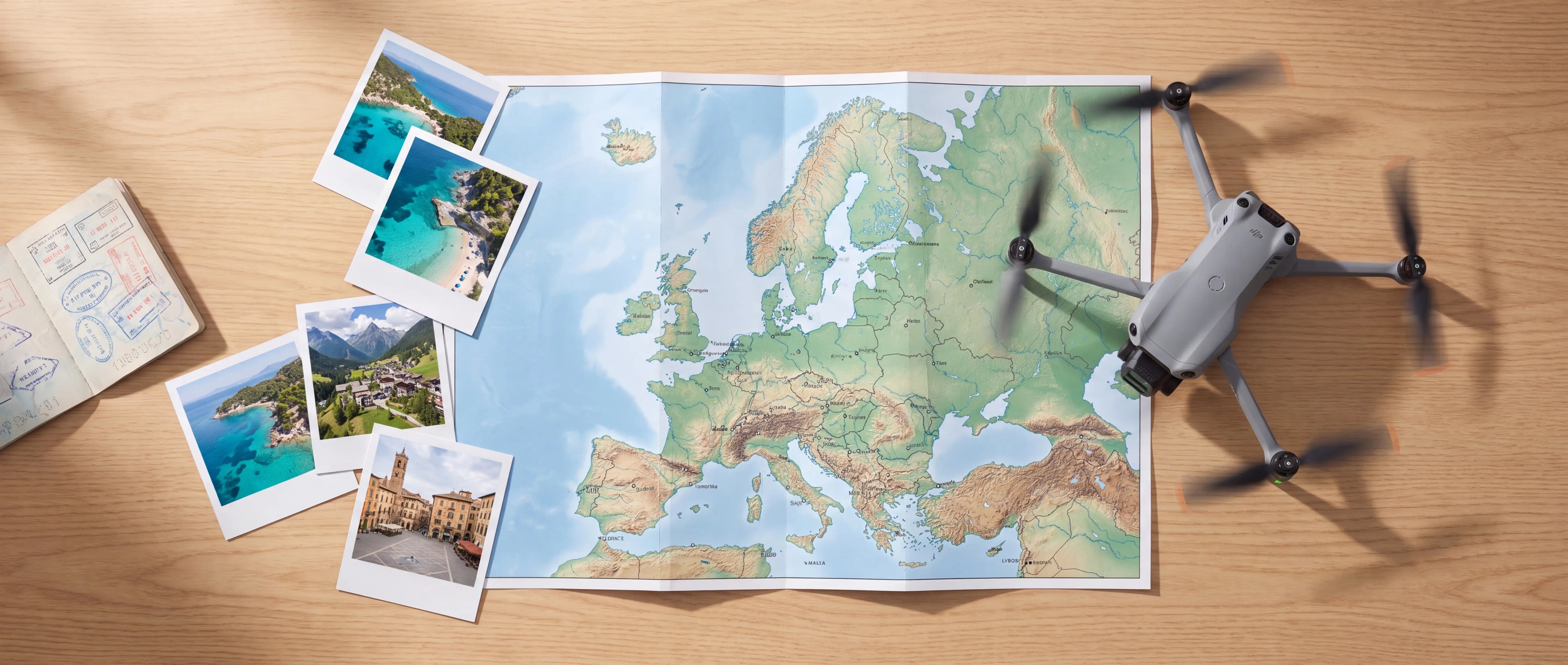
En este blog encontrará mapas en línea de drones de todos los países de la UE.
Mapas de Europa con drones
Cada país tiene su propio mapa de drones. Utilice los enlaces siguientes para ver el mapa de drones de cada país. Introduzca una ubicación exacta mediante la barra de búsqueda.
|
País |
Mapa de drones |
|
Austria |
|
|
Bélgica |
|
|
Bulgaria |
|
|
Croacia |
|
|
Chipre |
|
|
República Checa |
|
|
Dinamarca |
|
|
Estonia |
|
|
Finlandia |
|
|
Francia |
|
|
Alemania |
|
|
Grecia |
|
|
Hungría |
|
|
Irlanda |
|
|
Italia |
|
|
Letonia |
|
|
Lituania |
|
|
Luxemburgo |
|
|
Malta |
|
|
Países Bajos |
|
|
Noruega |
|
|
Polonia |
|
|
Portugal |
|
|
Rumanía |
|
|
Eslovaquia |
|
|
Eslovenia |
|
|
España |
|
|
Suecia |
|
|
Suiza |
Islandia no tiene mapa en línea. Viaja bien preparado y vuela seguro al extranjero.

¿Dónde se puede volar un dron en Europa?
La autorización para volar un dron depende del espacio aéreo. Comprueba siempre en qué espacio aéreo vas a volar. Existen mapas interactivos para drones que muestran en qué tipo de espacio aéreo se va a volar. Los distintos tipos de espacio aéreo están representados por colores. Tenga en cuenta que los colores suelen tener distintos significados según el país.
La siguiente tabla muestra los diferentes colores y significados para los Países Bajos. En un mapa de drones, haz clic en un área para obtener más explicaciones sobre el espacio aéreo respectivo y cualquier restricción.
|
Color en GoDrone (NL) |
Significado |
|
Rojo |
Zona de exclusión aérea permanente |
|
Zona de bajo vuelo* |
|
|
Azul |
Zona de exclusión aérea temporal |
|
Verde |
Natura 2000 |
|
Naranja |
Trayectoria de vuelo baja |
|
Amarillo |
Advertencia (no es una zona de exclusión aérea) |
* Aquí está permitido volar drones en las subcategorías A1 y A2, a un máximo de 30 metros AGL.
Además de las leyes y normativas europeas, también se aplican las leyes y normativas nacionales, que pueden causar diferencias en lo que está permitido en cada país.
¿No sabes qué licencia necesitas?
¿Necesito una licencia de dron de la UE para volar en el espacio aéreo europeo?
Para volar un dron en la UE, a partir de 250 gramos, se necesita un certificado. Hay distintos certificados. El certificado necesario depende del peso y de las zonas en las que quieras volar.
Si vuela fuera de zonas urbanizadas en espacio aéreo no controlado, le bastará con el certificado A1-A3. ¿Quiere volar por encima de edificios con un dron de entre 500 gramos y 2 kilos (o con etiqueta C2)? Entonces también necesita obtener el certificado A2. Para la categoría específica, sigue existiendo el certificado teórico STS de la AESA.
Todos estos certificados son válidos en toda la UE. Utilice nuestra guía de selección para saber qué certificado necesita para su dron (en función del peso).