Aveți planuri să vizitați țara noastră în această primăvară sau vară?
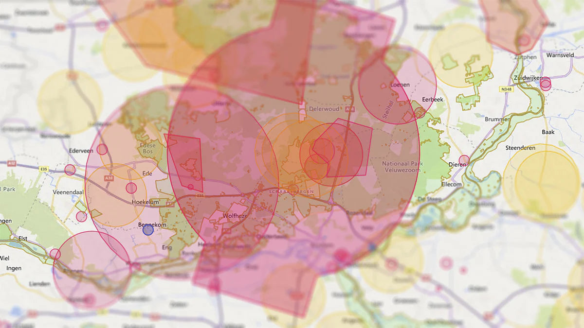
Harta dronelor din Țările de Jos arată diferitele zone ale spațiului aerian olandez. Înainte de a începe să vă pilotați drona, trebuie să verificați care este zona în care doriți să zburați și dacă zborul cu drona este permis. Diferitele zone sunt afișate per locație pe harta dronelor, inclusiv zonele de interdicție de zbor.
Evitați amenzile în vacanță! Să vedem unde puteți și unde nu puteți zbura.
Unde vi se permite să pilotați drone în Țările de Jos?
Locul în care vă puteți pilota drona depinde de spațiul aerian și de restricțiile prezente. Harta dronelor din Țările de Jos arată toate restricțiile pentru fiecare locație. Există mai multe hărți pentru drone ale Țărilor de Jos. Vă recomandăm harta dronelor de la GoDrone. Această hartă a dronelor provine de la controlul traficului aerian din Țările de Jos și indică, de asemenea, toate zonele temporare de interdicție de zbor.
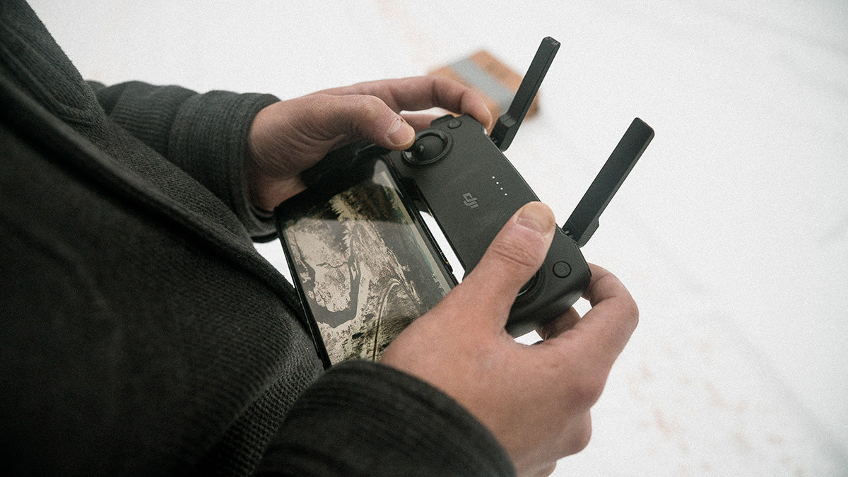
GoDrone are o aplicație mobilă, care poate fi descărcată gratuit. Atât aplicația, cât și site-ul web vă pot afișa locația curentă. De asemenea, poate fi introdusă o adresă, după care vor fi afișate toate restricțiile privind adresa introdusă.

Legenda hărții dronelor Olanda
Pe harta cu drone a Țărilor de Jos sunt marcate diferite zone. Fiecare zonă are propria sa semnificație și propriile reguli. În unele zone, este interzis zborul unei drone, iar în altele, se aplică avertismente.
Zone nemarcate
Zonele nemarcate sunt cunoscute și sub denumirea de spațiu aerian liber. Ca pilot de dronă, sunteți liber să zburați aici, cu condiția să respectați normele europene privind dronele.
Zone de interdicție aeriană (zone roșii)
Zonele de interdicție de zbor sunt reprezentate pe hărțile olandeze pentru drone ca zone roșii. Veți găsi aceste zone de interdicție de zbor în jurul aeroporturilor și bazelor militare. Aici nu aveți voie să vă pilotați drona.
Zone temporare de interdicție de zbor (zone albastre)
O zonă cu interdicție temporară de zbor este reprezentată ca o zonă albastră pe harta olandeză a dronelor. O zonă de interdicție temporară de zbor este o zonă în care au loc activități aeriene, interzicându-vă temporar să zburați cu drona aici. Atunci când faceți clic pe o zonă albastră de pe harta dronelor, se deschide o descriere. Această descriere arată când este activă zona de interdicție temporară de zbor.
Natura 2000 (zone verzi)
Zonele verzi de pe harta dronelor sunt zone Natura 2000. Acestea sunt rezervații naturale protejate, unde animalele nu trebuie deranjate. Dacă doriți să zburați într-o zonă Natura 2000, aveți nevoie de permisiunea pădurarului și a provinciei (statului) care deține terenul.
Zone de zbor redus (zone portocalii)
Zonele în care se zboară cu viteză redusă sunt reprezentate prin zone portocalii. Aveți voie să zburați cu drona în aceste zone dacă luați cu dvs. un observator. Sarcina observatorului este să monitorizeze zona și să alerteze pilotul atunci când se apropie trafic aerian. Dacă sunt observate alte vehicule aeriene, pilotul trebuie să inițieze imediat aterizarea. În calitate de pilot de dronă, trebuie să acordați prioritate tuturor celorlalte tipuri de vehicule aeriene.
Numai dronele din subcategoriile A1 și A2 au voie să zboare aici. Păstrați o înălțime maximă de 30 de metri.
Avertizare (zone galbene)
În zonele galbene se aplică un avertisment. Este posibil să intrați în contact cu alt trafic aerian în astfel de zone. În zonele galbene, se recomandă să luați cu dvs. un observator care să monitorizeze zona și să alerteze pilotul. Atunci când este semnalat un alt trafic aerian, pilotul dronei trebuie să cedeze trecerea.
Căutați hărți cu drone ale altor țări europene? Consultați blogul cu hărți cu drone ale Europei.
Nu știi sigur de ce licență ai nevoie?
Am nevoie de o licență UE pentru drone pentru a pilota o dronă?
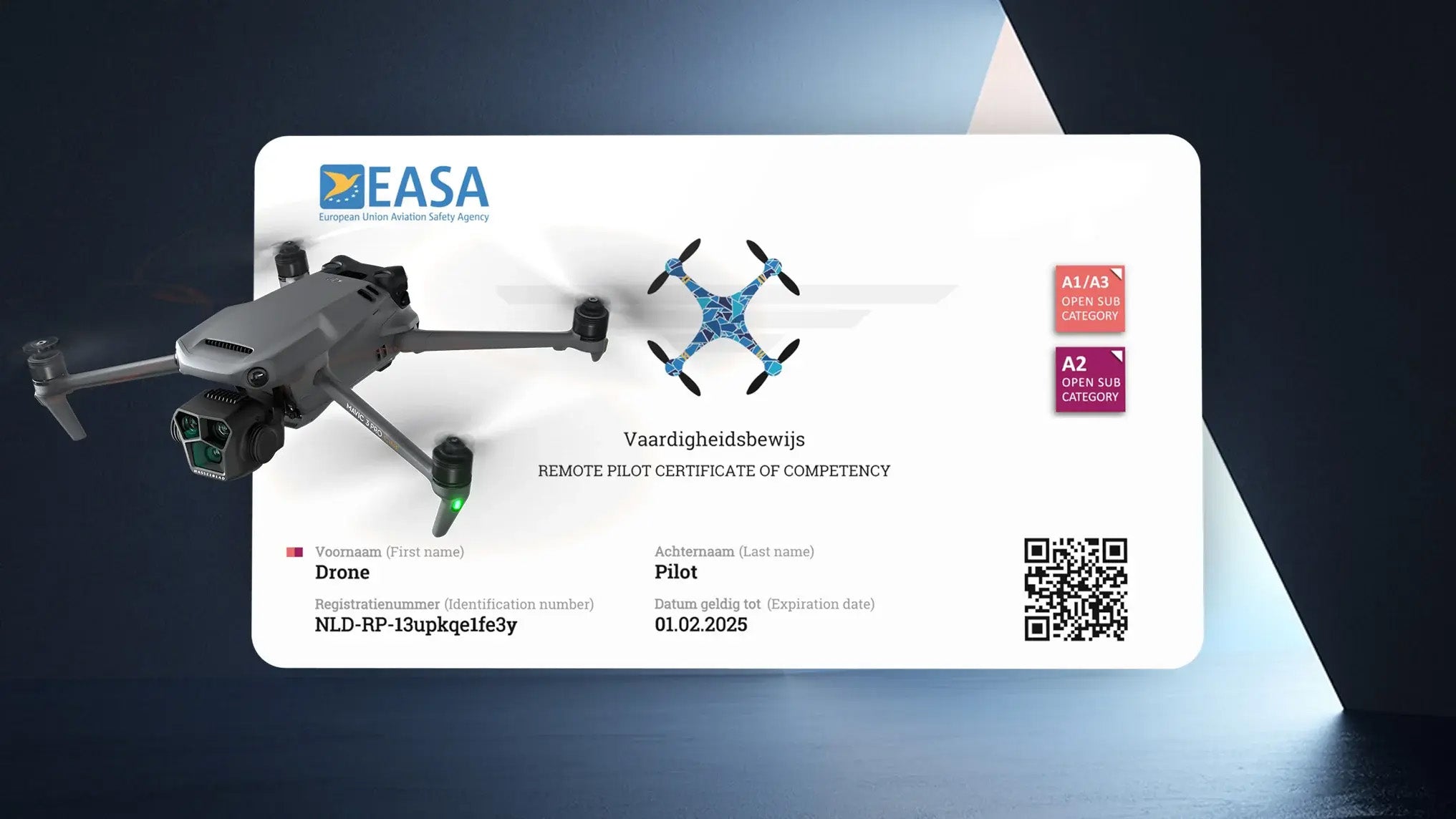
Doriți să pilotați o dronă în Țările de Jos? Dacă da, aveți nevoie de o licență UE pentru drone de la 250 de grame. Dacă drona dvs. cântărește mai mult de 249 de grame, trebuie să obțineți o licență UE pentru drone. Licența UE pentru drone vă permite să zburați în spațiul aerian deschis. Obțineți licența UE pentru drone urmând un curs de formare online și un examen online. După ce ați promovat examenul, depuneți cererea pentru certificat prin intermediul nostru. Odată ce cererea este completă, veți primi licența UE pentru drone prin e-mail în câteva minute. Cu licența UE pentru drone puteți zbura în spațiul aerian deschis din întreaga Europă.
De ce să vă obțineți licența UE pentru drone la Drone Class?
Motive pentru a ne alege ca școală de zbor:
- Formare online completă într-un număr limitat de ore
- Rata de succes de 95% (la prima încercare)
- Examen online și reexaminări gratuite
- Certificat eliberat de autoritățile olandeze (RDW) și recunoscut de agenția europeană EASA
Aveți întrebări cu privire la harta dronelor din Țările de Jos sau ce certificat trebuie să obțineți pentru drona dvs.? Luați legătura cu noi!