
Un espace aérien comprend différentes zones. Lorsque vous pilotez un drone, vous devez d'abord vérifier si vous êtes autorisé à voler dans cet espace. Vous pouvez le faire à l'aide d'une carte des drones. La carte des drones indique les zones géographiques pour chaque lieu.
Dans ce blog, vous trouverez des cartes de drones en ligne pour tous les pays de l'UE.
Cartes d'Europe par drone
Chaque pays possède sa propre carte des drones. Utilisez les liens ci-dessous pour consulter la carte des drones de chaque pays. Saisissez un lieu exact dans la barre de recherche.
|
Pays |
Carte des drones |
|
Autriche |
|
|
Belgique |
|
|
Bulgarie |
|
|
Croatie |
|
|
Chypre |
|
|
République tchèque |
|
|
Danemark |
|
|
Estonie |
|
|
Finlande |
|
|
France |
|
|
Allemagne |
|
|
Grèce |
|
|
Hongrie |
|
|
Irlande |
|
|
Italie |
|
|
Lettonie |
|
|
Lituanie |
|
|
Luxembourg |
|
|
Malte |
|
|
Pays-Bas |
|
|
Norvège |
|
|
Pologne |
|
|
Portugal |
|
|
Roumanie |
|
|
Slovaquie |
|
|
Slovénie |
|
|
Espagne |
|
|
Suède |
|
|
Suisse |
L'Islande n'a pas de carte en ligne. Voyagez bien préparé et prenez l'avion en toute sécurité à l'étranger.

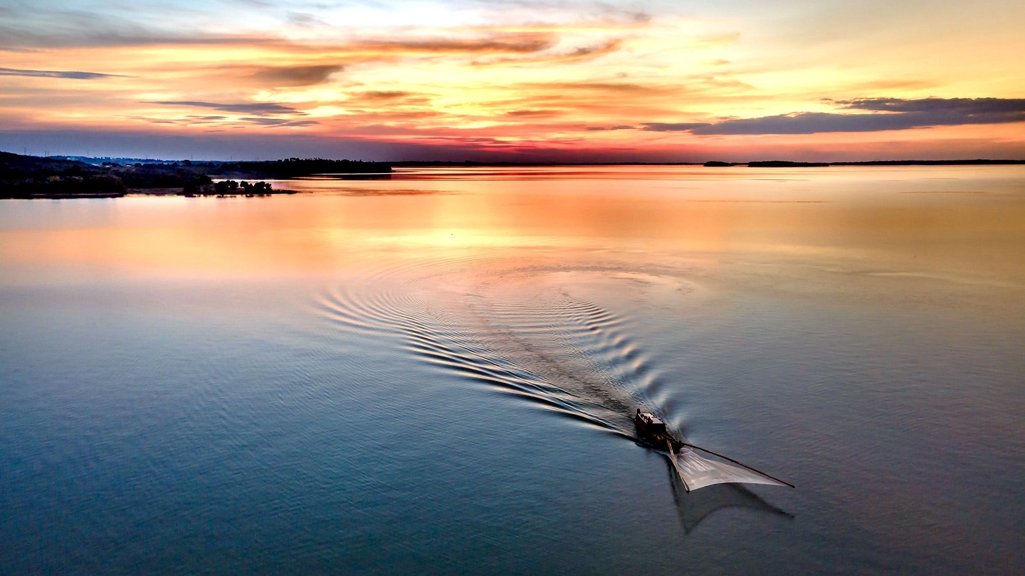
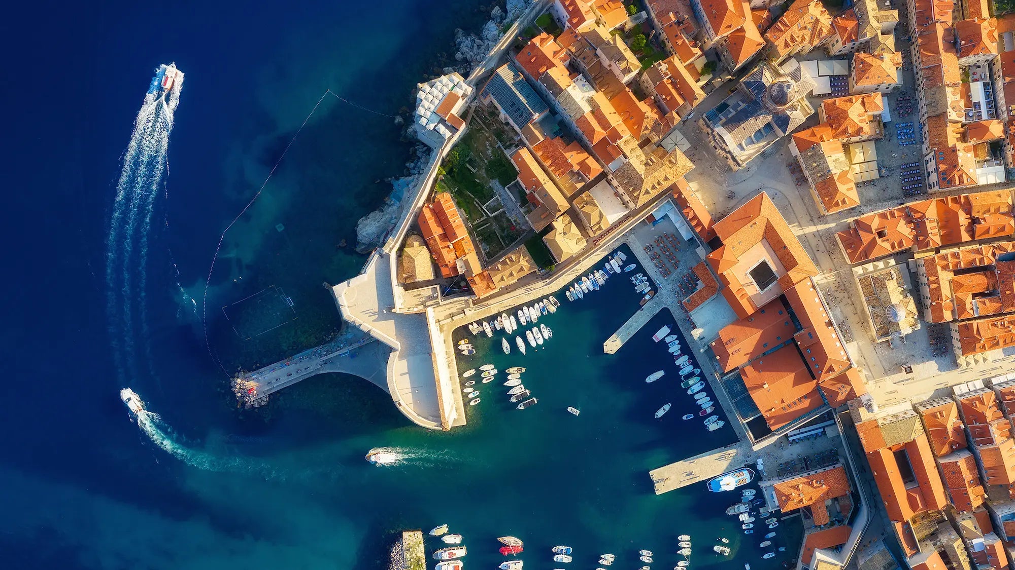
Où peut-on faire voler un drone en Europe ?
L'autorisation de faire voler un drone dépend de l'espace aérien. Vérifiez toujours dans quel espace aérien vous allez voler. Il existe des cartes interactives pour les drones, qui indiquent le type d'espace aérien dans lequel vous allez voler. Les différents types d'espace aérien sont représentés par des couleurs. Veuillez noter que les couleurs ont généralement des significations différentes selon les pays !
Le tableau ci-dessous présente les différentes couleurs et significations pour les Pays-Bas. Sur une carte de drone, cliquez sur une zone pour obtenir plus d'explications sur l'espace aérien concerné et les éventuelles restrictions.
|
Couleur dans GoDrone (NL) |
Signification |
|
Rouge |
Zone d'exclusion aérienne permanente |
|
Zone de vol à basse altitude* |
|
|
Bleu |
Zone temporaire d'interdiction de vol |
|
Vert |
Natura 2000 |
|
Orange |
Trajectoire de vol basse |
|
Jaune |
Avertissement (pas une zone d'exclusion aérienne !) |
* Ici, vous êtes autorisé à faire voler des drones dans les sous-catégories A1 et A2, à une altitude maximale de 30 mètres.
Outre les lois et réglementations européennes, des lois et réglementations nationales s'appliquent également, ce qui peut entraîner des différences dans ce qui est autorisé dans chaque pays.
Vous ne savez pas quelle licence choisir ?
Ai-je besoin d'une licence européenne de drone pour voler dans l'espace aérien européen ?
Pour faire voler un drone dans l'UE, à partir de 250 grammes, vous avez besoin d'un certificat. Il existe différents certificats. Le certificat requis dépend du poids et des zones dans lesquelles vous souhaitez voler.
Si vous volez en dehors des agglomérations dans un espace aérien non contrôlé, le certificat A1-A3 suffit. Vous souhaitez voler au-dessus des bâtiments avec un drone de 500 grammes à 2 kilos (ou avec un label C2) ? Dans ce cas, vous devez également obtenir le certificat A2. Pour la catégorie spécifique, il existe encore le certificat théorique EASA STS.
Tous ces certificats sont valables dans l'ensemble de l'UE. Utilisez notre guide de sélection pour savoir de quel certificat vous avez besoin pour votre drone (en fonction de son poids).